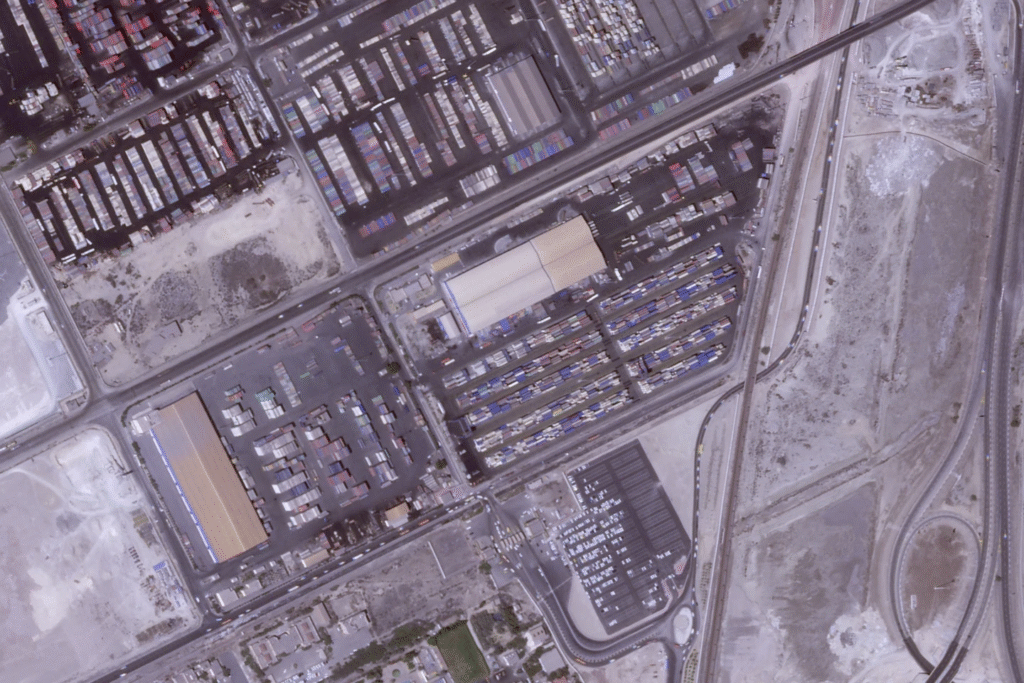
DUBAI, United Arab Emirates – Satellite images analyzed by The Associated Press on Monday showed the devastation of an explosion that rocked one of Iran’s main ports as the death toll rose to 46 people with over 1,000 injured.
The photos from Planet Labs PBC came as local news reports from the site raised more questions about the cause of the blast Saturday at the Shahid Rajaei port near Bandar Abbas. The port reportedly took in a chemical component needed for solid fuel for ballistic missiles — something denied by authorities though they’ve not explained the source of the power that caused such destruction.
The blast Saturday disintegrated a building next to the blast site, which appeared to be in a row where other containers once stood, the satellite photos showed. It also shredded the majority of another building just to the west.
The force of the blast also could be seen, with what appeared to be two craters measure some 50 meters (165 feet) across. Other containers nearby appeared smashed and distended by the explosion and the intense fire that followed.

The fire still burned at the site Monday, some two days after the initial explosion that happened just as Iran began a third round of negotiations with the United States over its rapidly advancing nuclear program.
AP
